Cartographic historian Chet Van Duzer discusses early modern maps and the methods used by map makers to indicate certainty and uncertainty about the accuracy of their maps at the National Library of Australia.
We tend to trust maps as accurate depictions of the world, and most early modern cartographers are content to benefit from that trust without raising questions about the reliability of their sources. Chet Van Duzer examines several methods that cartographers used from the fifteenth to the eighteenth centuries to depart from this convention and indicate to their viewers which parts of their map they were certain about, and which they were uncertain about.
Some of these methods include listing sites about whose location the cartographer is uncertain, using a different graphic style to depict unknown coastlines, using signs to distinguish between certain and uncertain regions, and surrendering to uncertainty and reprinting varying maps of the same region together.
Attend in person
Entry to this event is free but bookings are essential.
Watch online
The presentation will also be available online. Please make a booking and the Library will send you a direct link to the livestream event via email. Or you can join anytime through the Library’s YouTube channel.
About the speaker
Chet Van Duzer is a historian of cartography and a board member of the Lazarus Project at the University of Rochester, which brings multispectral imaging (a technology for recovering information from damaged manuscripts) to cultural institutions around the world.
He has published extensively on medieval and Renaissance maps; his recent books include Henricus Martellus’s World Map at Yale (c. 1491): Multispectral Imaging, Sources, and Influence, published by Springer in 2019, and Martin Waldseemüller’s Carta marina of 1516: Study and Transcription of the Long Legends, published by Springer in 2020. His book Frames that Speak: Cartouches on Early Modern Maps was published by Brill in Open Access in 2023.
His current projects are books about self-portraits by cartographers that appear on maps and the historical cartography of the Indian Ocean.
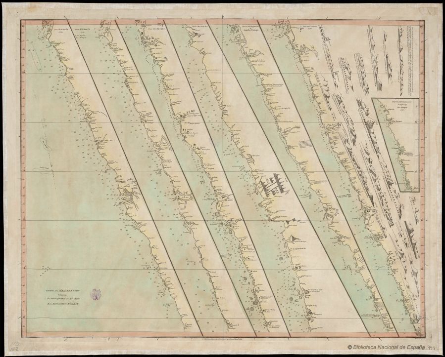
Image: Dalrymple Charts of the Malabar Coast
For more information click here


